Use simple tools to document the symptom and qualified methods to answer design questions. Phone video, a tape measure and a rain log provide context; they do not replace elevation surveys, pipe locating or professional interpretation when those are needed.
Choose the question before the tool
Decide whether you need to show where water flows, locate a buried line, compare elevations or assess pipe condition. Each is a different task. A homeowner may collect useful observations without solving all of them. NDS’s drainage guide organizes components and planning considerations. [1] Use that framework to explain your question to a contractor. Avoid buying equipment simply because it is marketed for drainage. The tool should have a clear role in the decision and an understood limitation.
The camera-stoppage account shows how a tool can narrow a question without resolving the entire buried route. This Reddit account is anecdotal, not technical authority. [3]
Phone photographs and video preserve sequence
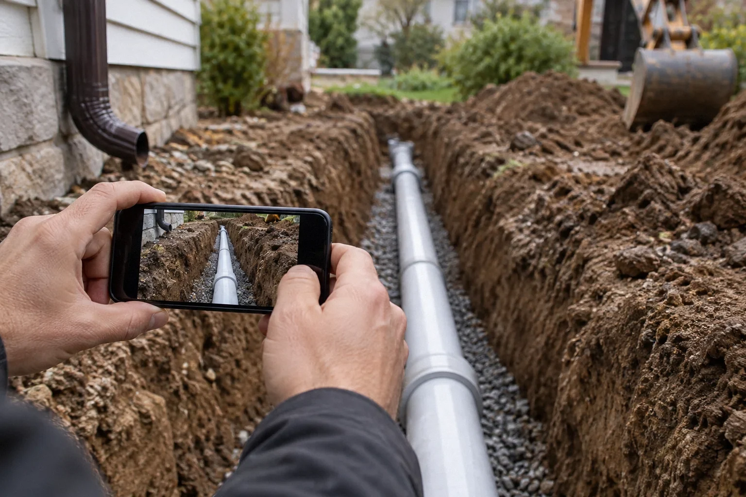
A wide view can show the source and receiving area; a closer view can document the affected detail. Include fixed landmarks so another person can orient the image. Keep original files, dates and a short note about conditions. Video can show the timing of overflow or the direction of a surface stream, but perspective can distort apparent slope. It should not be used as a substitute for measured elevations when a design depends on small differences. Safe access matters more than obtaining a dramatic angle.
A tape measure provides context, not a design
Approximate distances between accessible features help describe the site and compare sketches. Record what was measured and avoid false precision. A distance from a downspout to a wall does not establish that the receiving grade carries water away. PNNL’s grading guidance concerns direction and route as well as separation. [2] If the decision requires elevations, ask for a suitable measurement method and qualified interpretation. Do not stretch a tape across hazardous areas or excavate to find hidden points simply to complete a sketch.
Rain records help compare events
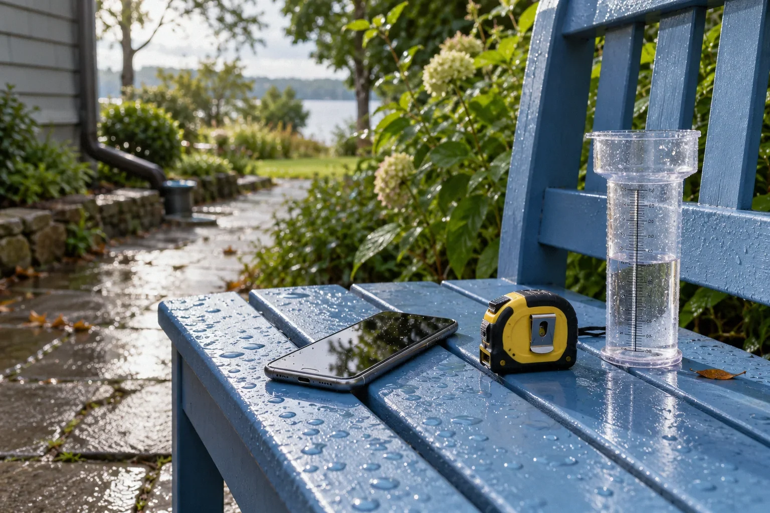
A simple log can record date, approximate duration, observed intensity and whether the ground was already wet. A rain gauge may add local information if used and read appropriately, but one reading does not establish the intensity pattern at the exact time of overflow. Public weather data may also differ from conditions at the property. Label the source and limitations. The purpose is to avoid comparing an ordinary shower with a prolonged storm as if they were identical, not to claim a precise engineering test from informal observations.
Professional instruments answer different questions
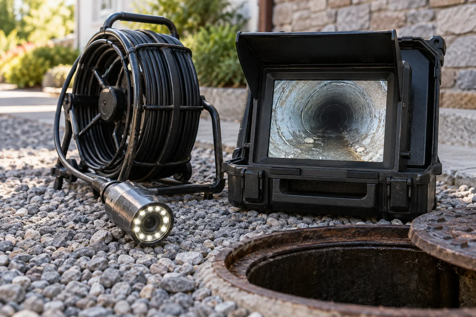
An elevation survey can support route planning; suitable locating equipment can help map accessible buried pipe; a camera can show visible interior conditions. Ask the provider which method answers your question and what remains unknown. A camera does not automatically establish grade or capacity, and location marks should carry appropriate uncertainty. Request deliverables you can retain, such as a labeled plan, footage and a written interpretation. Instrument readings are useful only when tied to clear reference points and the actual system being investigated.
Do not substitute a gadget for an assessment
Consumer moisture or level tools can produce readings that look authoritative without resolving the cause. Ask what a result means for the specific material or site and whether it needs confirmation. Avoid destructive investigation based solely on one unexplained reading. If water affects structures, tree stability or electrical systems, obtain the relevant qualified help. Your observations should make that assessment more efficient, not replace it. A well-labeled sketch and clear question can be more useful than a folder of unexplained instrument screenshots.
Ask for the minimum useful professional deliverable
For an elevation assessment, request the relevant reference points and a clear interpretation of the proposed route. For locating, request the confirmed path and uncertainty. For a camera service, request labeled footage and inspected limits. These deliverables make the information reusable without demanding an elaborate report for every small task. The appropriate level depends on the decision and consequences.
Keep raw observations separate from conclusions in your own notes. Write that water crossed the path at a given time rather than that the pipe is undersized unless a qualified assessment supports that conclusion. This makes your record more credible and helps the professional consider competing causes.
Avoid false precision in maps created from casual measurements. A sketch can be highly useful while clearly approximate. Label it accordingly and do not use it as an excavation instruction. Where buried utilities or structural constraints matter, qualified location and planning remain necessary regardless of how detailed the homeowner’s drawing appears. The value of your record is context and continuity, not replacing those processes.
When sharing observations with a professional, include the question you want answered in the file or message. A video labeled rear basin backs up after sustained rain gives more direction than a folder titled drainage problem. If you have a measurement, explain how it was obtained and whether it is approximate. The provider can then decide whether it is adequate context or needs verification. Do not discard a simple observation because it lacks instrument precision; the timing of an event can be important even when the depth is unknown. Conversely, do not assign technical meaning to a precise-looking number without understanding the method. Useful evidence combines context, traceable observations and honest limits. That combination helps the next investigation focus on the unresolved question rather than repeat information you already have.
| Decision area | Question or evidence |
|---|---|
| Elevation service | Reference points and route interpretation |
| Locating service | Confirmed segments and uncertainty |
| Camera service | Labeled footage and access limits |
| Homeowner sketch | Approximate context, not excavation coordinates |
Example: a phone suggests a slope that measurements reverse
Imagine a narrow side yard photographed from a low angle. It appears to slope away from the house, yet water repeatedly returns to the wall. A professional elevation check may identify a local depression invisible in the image. The photograph was still useful because it documented the event and surrounding features; it simply could not answer the grade question. This distinction helps the owner request the right next service rather than arguing that the image proves the drainage route is adequate.
Create a small observation kit
Keep a labeled site sketch, a phone folder for original images and a simple event log. Add measurements only when they help answer a question and can be obtained safely. For professional services, request the reference points and interpretation with the raw data so the result remains understandable later.
- What uncertainty will this measurement resolve?
- What reference point gives the reading meaning?
- What conclusion cannot be supported by this tool alone?
What to take away
- Match each tool to a specific question.
- Preserve reference points and measurement limitations.
- Use qualified elevation, locating and condition methods when the decision needs them.
Sources & further reading
Reddit links show the questions people ask; they do not establish a diagnosis or a legal requirement. Technical requirements depend on the product, building and jurisdiction. See our research approach.
- NDS manufacturer: Principles of Exterior DrainageTechnical / official reference
Surface/subsurface collection, discharge planning, sizing and maintenance.
- DOE/PNNL: Final Grade Slopes Away from FoundationTechnical / official reference
Surface grading and constrained-site swales; cited historical codes must not be represented as current California requirements.
- Reddit discussion: French drain issue/questionCommunity question · anecdotal
Anecdotal homeowner discussion used to identify the question; not technical authority or evidence of this property’s condition.
Planning a Bay Area project?
Explore YKCA’s website and discuss the scope and services you need directly with them.