Use existing records, visible features and qualified tracing to establish a drain’s destination. Do not excavate along a guess or assume every buried pipe connects to the street. Until the outlet is identified, both maintenance decisions and claims of successful flow remain limited.
Collect the evidence already available
Look for installation invoices, landscape plans, inspection reports and photographs from earlier work. Ask previous service providers whether they recorded the route. Walk accessible areas in dry conditions to identify grates, cleanouts and possible outlets without opening secured structures or entering confined spaces. Mark each feature on a simple plan. Keep observed features separate from assumptions, such as a pipe probably going under the driveway. That distinction prevents a plausible guess from becoming the route used for later excavation.
The unknown route near a tree shows why a previous owner’s installation cannot be mapped by assumption. This Reddit account is anecdotal, not technical authority. [3]
Identify what enters the line
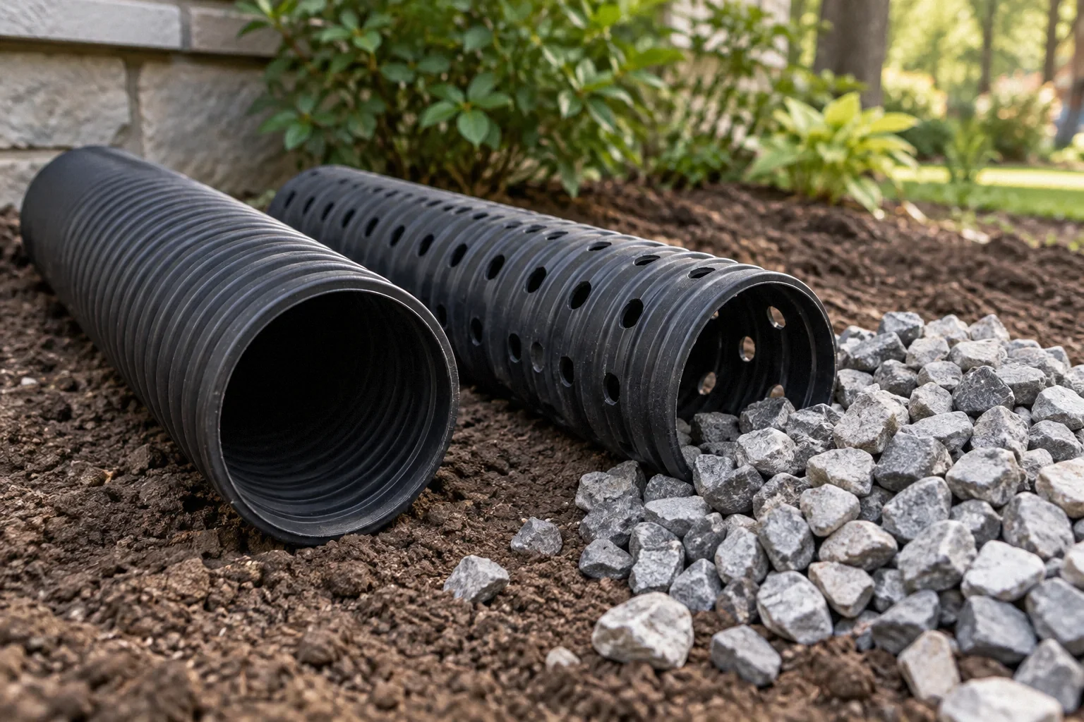
Trace the visible inlet back to its source. A downspout carrier, yard basin network and foundation drain may need different investigation approaches. Several inlets may join a common route, or two nearby pipes may be unrelated. Ask a qualified provider to establish which system is being traced. NDS’s drainage guide explains different exterior components. [1] The guide is useful vocabulary, but it cannot identify your concealed installation. Avoid introducing water into an unknown line simply to see where it appears when the receiving conditions and connections are not understood.
Use professional locating with stated limits
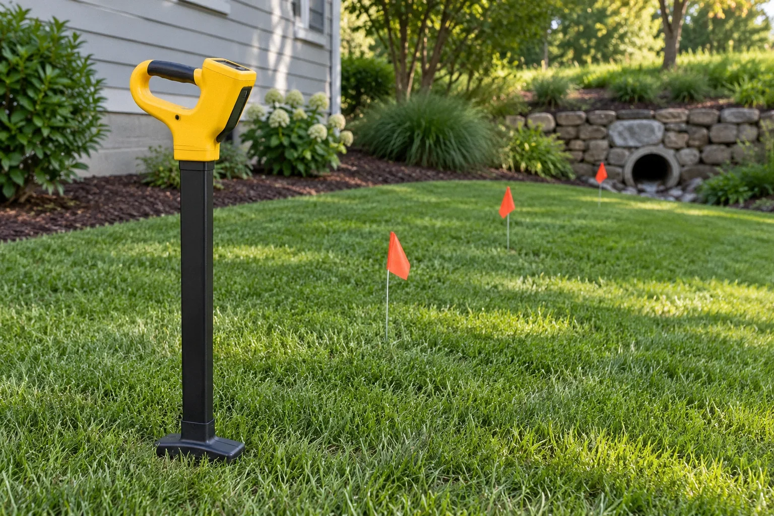
A camera combined with suitable locating equipment may help relate an accessible pipe segment to the surface. Other site-specific methods may be appropriate. Ask the provider what equipment will be used, what can prevent a complete trace and how location uncertainty will be reported. Distance along a pipe is not the same as a surveyed straight-line location. If the camera cannot pass, the unseen route remains unknown. Request a map that shows confirmed segments and unresolved continuations rather than a confident line drawn through inaccessible ground.
Check for changes that may have hidden the outlet
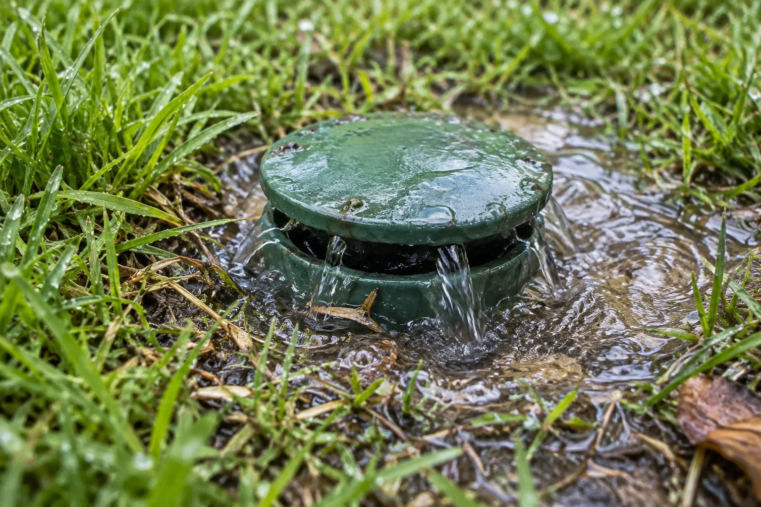
Later paving, raised beds, vegetation or grading can obscure a previously visible termination. Compare older photographs with the current landscape where possible. If a pop-up emitter is suspected, manufacturer information can help identify the component, but its presence still needs confirmation. [2] Do not remove landscaping or alter a public drainage feature based on resemblance alone. A suspected destination should be documented and checked by the appropriate person before it is used as the basis for a connection or repair.
Understand why destination matters
Knowing where the line ends informs cleaning, discharge assessment and permissions. A pipe can accept water while releasing it to an unsuitable place or an unrecognized buried failure. Conversely, an outlet may exist but become submerged during storms. The investigation should therefore establish both identity and relevant receiving conditions. If the destination involves public infrastructure, ask the local authority about records and applicable requirements. The absence of an obvious outlet is not evidence that the line is a drywell or that it is permitted to connect to a storm system.
Plan targeted next steps when tracing is incomplete
An incomplete trace is still useful if it narrows the unknown area. Ask the provider to recommend the least disruptive next investigation and explain why it is needed. Utility location, structural constraints and tree roots must be considered before excavation. Do not keep digging along the visible pipe because the next section might answer the question. If the line’s performance is affecting the building, temporary water-management measures and a permanent investigation plan should be coordinated by qualified professionals rather than improvised around an unidentified route.
Assign confidence to the route map
Use solid lines for segments observed or located by a stated method and dashed lines for inferred continuations. Mark access points and the date. This simple convention helps future contractors understand whether they can rely on the drawing for planning or need another investigation. It is more honest than a polished map that hides uncertainty.
If old plans conflict with current locating results, preserve both and ask the investigator to explain the discrepancy. Later work may have changed the route, or the original plan may have represented intended rather than installed construction. Do not discard the conflict just to create a single clean answer. It may identify the area needing further assessment.
Once a destination is found, document how it receives water and whether the route is accessible for future maintenance. Finding a pipe end is an important result, but it does not by itself establish the suitability of the discharge. Keep identity, condition and receiving-area review as separate items so the project does not stop one step too early.
Ask whether municipal or development records might identify an approved drainage arrangement, but do not assume those records describe every later alteration. A plan can show an intended route while the installed system differs. Compare records with accessible evidence and preserve discrepancies. If the suspected outlet lies outside the property, do not enter or modify it without appropriate authority. The investigation can begin with records and coordination rather than physical access. Once permission and scope are established, a qualified provider can select the appropriate method. This avoids treating an unknown pipe as a justification for uncontrolled excavation or access. The owner’s useful contribution is to gather the history and explain the complaint, while the investigation establishes the route with a stated level of confidence and a clear record of remaining limits.
| Decision area | Question or evidence |
|---|---|
| Visible component | Photograph and fixed landmark |
| Located segment | Method and uncertainty |
| Inferred continuation | Reason for inference and next check |
| Confirmed outlet | Identity plus receiving-area observations |
Example: the pipe heads beneath a driveway
Imagine an old carrier disappears toward a driveway, with no visible outlet at the curb. A homeowner might assume it continues underneath and start excavation at the far side. A better sequence is to review records, identify accessible points and use suitable professional tracing. The line might turn, terminate elsewhere or be damaged before reaching the driveway. The investigation’s value is avoiding a large repair based on an unverified straight-line assumption. If a confirmed route eventually requires work beneath paving, the estimate can then address that specific crossing and its restoration.
Preserve the route once it is known
Keep the final map, photographs of visible terminations and any locating report. Include the date and the method used. If later landscaping changes the outlet area, update the record as part of that project. The next owner or maintenance provider should not have to rediscover the same route.
- Which segments were physically observed or located?
- Where does the line discharge under normal conditions?
- What remains unresolved beneath paving or landscaping?
What to take away
- Map observed features separately from inferred routes.
- Request tracing uncertainty and inaccessible sections.
- Treat outlet identity and receiving conditions as separate findings.
Sources & further reading
Reddit links show the questions people ask; they do not establish a diagnosis or a legal requirement. Technical requirements depend on the product, building and jurisdiction. See our research approach.
- NDS manufacturer: Principles of Exterior DrainageTechnical / official reference
Surface/subsurface collection, discharge planning, sizing and maintenance.
- NDS manufacturer: What Is a Pop-Up Emitter?Technical / official reference
Outlet operation and sediment/leaf maintenance.
- Reddit discussion: French drain issue/questionCommunity question · anecdotal
Anecdotal homeowner discussion used to identify the question; not technical authority or evidence of this property’s condition.
Planning a Bay Area project?
Explore YKCA’s website and discuss the scope and services you need directly with them.